28 results
Elementary geography resources for Easel $10 and up
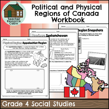
Political and Physical Regions of Canada Workbook (Grade 4 Social Studies)
This workbook covers the Grade 4 Political and Physical Regions of Canada unit in the current 2018 Ontario Social Studies curriculum (People and Environments).In this workbook, students will learn about various aspects of Canada's political and physical regions. They will explore political regions through maps, cardinal directions, and individual provinces and territories, including their flags and key facts. The workbook also covers physical regions, such as the Canadian Shield, Great Lakes-St.
Grades:
4th
Also included in: Grade 4 Ontario Social Studies Workbook Bundle
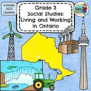
Grade 3 Social Studies Ontario: Living and Working in Ontario 2023
This package includes:Shared reading passages, Easy-to-follow worksheets, Differentiated tasks (Low and High), Unit Quiz, Unit Review Tests, Answer Key, All expectations in "People and Environments" Strand covered, Includes 3 Formats:1. PDF Download:Download PDF and photocopy worksheets2. TPT EASEL Activity:EASEL FAQEASEL Tutorial3. Google Slides:Download PDF and click on the link at the bottom of the Credits pageMake your own copy of the Google Slides when promptedBased on the Ontario Curriculu
Subjects:
Grades:
3rd
Types:
Also included in: Grade 3 Ontario Social Studies Bundle 2023
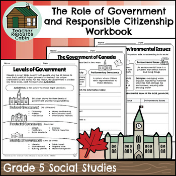
Role of Government and Responsible Citizenship Workbook (Grade 5 Social Studies)
This workbook covers the Grade 5 The Role of Government and Responsible Citizenship unit in the Ontario Social Studies 2018 curriculum (People and Environments).In this workbook, students will learn about various aspects of government and responsible citizenship. They will explore topics such as the role of government, different levels of government, municipal and provincial governments, the federal government, elections, taxes, Canadian citizenship, rights and responsibilities, the Charter of R
Subjects:
Grades:
5th
Also included in: Grade 5 Ontario Social Studies Workbook Bundle
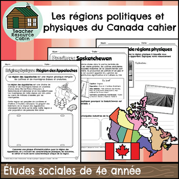
Les régions politiques et physiques du Canada (Grade 4 FRENCH Social Studies)
This FRENCH workbook covers the Grade 4 - Les régions politiques et physiques du Canada (Political and Physical Regions of Canada) unit in the Ontario Études sociales (Social Studies) curriculum (People and Environments). In this workbook, students will learn about various aspects of Canada's political and physical regions. They will explore political regions through maps, cardinal directions, and individual provinces and territories, including their flags and key facts.The workbook also covers
Subjects:
Grades:
4th
Also included in: MEGA BUNDLE: Grade 4 Ontario FRENCH Social Studies Full Units
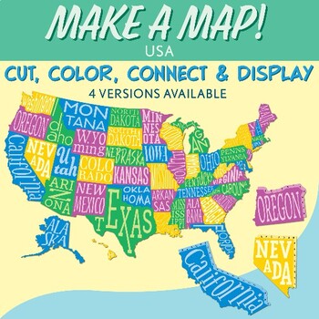
Interactive Bulletin Board United States Map Activity
Transform your classroom into a vibrant learning space with this Interactive Bulletin Board United States Map Activity. This engaging project invites students to actively participate in constructing a colossal wall map of the USA, fostering a collaborative and hands-on approach to learning United States geography. Assign each student a state and watch as the United States comes together, state by state, on your bulletin board! The finished map is an impressive 73 inches in length and 55 inches i
Grades:
4th - 7th
Also included in: USA Geography MEGA Bundle
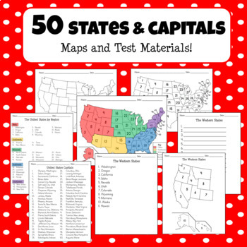
50 States, Regions, and Capitals - Maps and Test Materials + Easel Activities!
**NEW EASEL ACTIVITY OPTION ADDED** This product comes with everything you need for your students to learn about the United States names, regions, and capitals! It includes 55 pages of full USA maps, region maps, capital maps, state lists, and student test papers for region tests, all states tests, and capital tests. This product also now includes an optional Easel activity where your students can type the names of the states or drag and drop the state names by region!
Grades:
5th
Types:
All About South America Complete Unit with Activities for Early Readers
Take your students on a trip to South America with this complete unit! It includes information on 7 important countries in South America! There are over 125 pages in this complete unit!What is included in this unit?- Photo Collage Posters for each country and the continent- All About South America Mini Book (half page mini book, one page will print two books)- Country Activities such as fact sheet, research travel brochure, pocket, flash cards, and vocabulary puzzle- Engaging Worksheets to reinf
Grades:
PreK - 3rd
All About Europe Complete Unit with Activities for Early Readers
Take your students on a trip to Europe with this complete unit! It includes information on 13 major countries in Europe! There are over 200 pages in this complete unit!What is included in this unit?- Photo Collage Posters for each country and the continent- All About Europe Mini Book (half page mini book, one page will print two books)- Country Activities such as fact sheet, research travel brochure, pocket, flash cards, and vocabulary puzzle- Engaging Worksheets to reinforce learning and study
Grades:
PreK - 3rd
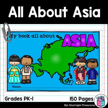
All About Asia Complete Unit with Activities for Early Readers
Take your students on a trip to Asia with this complete unit! It includes information on 9 major countries in Asia! There are over 150 pages in this complete unit!What is included in this unit?- Photo Collage Posters for each country and the continent- All About Asia Mini Book (half page mini book, one page will print two books)- Country Activities such as fact sheet, research travel brochure, pocket, flash cards, and vocabulary puzzle- Engaging Worksheets to reinforce learning and study vocabul
Grades:
PreK - 3rd
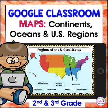
Map Skills US REGIONS CONTINENTS & OCEANS Google Slides & EASEL
Review map skills, 7 continents, identify world oceans & U.S. Regions: Northeast, Southeast, Midwest, Southwest & West using Google Slides. Interactive activities are great for all levels of learning. Use this with your smart board or for individual devices. Includes an Easel Activity! (33 Google Slides, 21 EASEL pages & 60 EASEL Questions)The Google Slide Access link contains 33 slides and 60 Question Easel Assessment:- Continent slides: with labels, without labels & drag the l
Grades:
2nd - 4th
Types:
Interactive Notebook - Geography Unit - Social Studies - With Reading Passages!
Interactive social studies notebooks are wonderful, and fun, ways to introduce your students to geography!I've been using notebooks in Social Studies for several years now, and I love it! My units involve a lot of reading, and even includes mini-books and reading passages! These mini-books have foldables and other activities that focus on reading skills, such as summarizing, looking for main idea and details, highlighting important information, taking notes, etc. My students have loved watching
Grades:
3rd - 7th
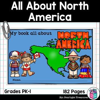
All About North America Complete Unit with Activities for Early Readers
Take your students on a trip to North America with this complete unit! It includes information on 7 important countries in North America! There are over 200 pages in this complete unit! It includes a special study on the 50 states of the USA, a study of Central America (Costa Rica), and the Caribbean (Jamaica, Cuba, and Puerto Rico).What is included in this unit?- Photo Collage Posters for each country and the continent- All About North America Mini Book (half page mini book, one page will print
Grades:
PreK - 3rd
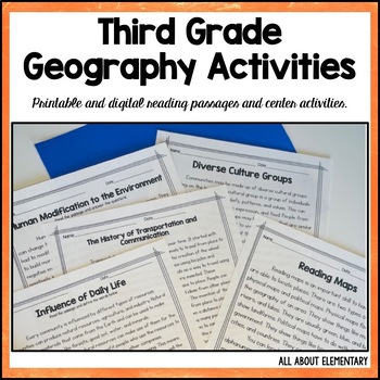
3rd Grade Geography Reading Passages and Activities
Welcome to an engaging and comprehensive resource designed to align with the Third Grade Learning Standards in Ohio for Geography. This carefully curated collection encompasses a range of activities that foster skill development in key areas such as map reading, understanding the impact of daily life on localities, human alterations to the environment, transportation and communication, and appreciation for diverse cultural groups.This Resource IncludesReading Passages with Text Dependent Questio
Subjects:
Grades:
2nd - 4th
Types:
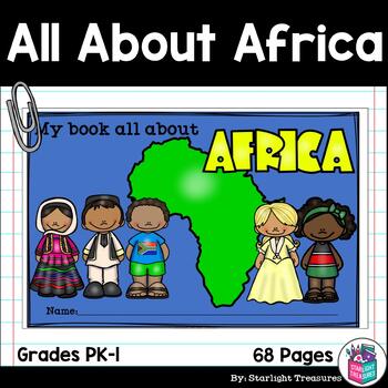
All About Africa Complete Unit with Activities for Early Readers
Take your students on a trip to Africa with this complete unit! It includes information on 3 major countries in Africa! There are over 65 pages in this complete unit!Plus a full color teacher copy of the mini book!What is included in this unit?- Photo Collage Posters for each country and the continent- All About Africa Mini Book (half page mini book, one page will print two books)- Country Activities such as fact sheet, research travel brochure, pocket, flash cards, and vocabulary puzzle- Engagi
Grades:
PreK - 3rd
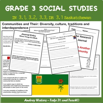
Saskatchewan Social Studies Grade 3 Unit 1
This Take It and Teach unit plan is Unit 1 of a year plan that covers the outcomes and indicators for Grade 3 Social Studies for the Saskatchewan Curriculum. Although it is geared to this specific curriculum, it can be useful for any Social Studies curriculum focusing on communities and comparison of communities around the world. It covers the outcomes for DR3.1, and IN3.1, 3.2, and 3.3, covering such topics as: using maps and globes, describing characteristics of daily life in communities, co
Grades:
3rd
Types:
Also included in: Saskatchewan Social Studies - Grade 3 Units 1-4 Bundled Set
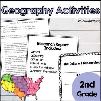
2nd Grade Geography Activities for Ohio Standards
These second grade geography activities are perfect for teaching social studies in Ohio. Teach the learning standards with these activities designed just for you! The lessons are designed to include opportunities for research, discussion, and modeling. Teach second grade Ohio Social Studies standards with the included activities:•Creating a map•Introducing Work in Different Cities•Researching Jobs•How Humans Can Impact the Environment•Understanding the Negative and Positive Effects We Have on th
Subjects:
Grades:
2nd
Types:
Also included in: 2nd Grade Social Studies Bundle: Curriculum for the Entire Year
First Grade Social Studies- Geography 1.G.1, 2 and 3
This is an 8 day unit that teaches Social Studies standards G. 1, 2 and 3.This unit includes lesson plans, colorful slides to show landforms and bodies of water, geography terms and maps.There is also a student book and a test plus several maps that students make themselves.This unit includes everything you need to teach these standards.Students will need crayons, scissors and glue sticks to complete maps.Day 1: Students learn geography tool terms such as compass, compass rose, map, globe and GP
Subjects:
Grades:
1st - 2nd
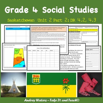
Grade 4 Saskatchewan Social Studies Unit 2 Part 2 DR 4.2 and 4.3
This unit plan is part of a bundle that will satisfy all the outcomes for Grade 4 SK Social Studies. This unit covers the outcomes DR4.2: Explain the relationship of First Nations and Metis peoples with the land. DR4.3: Analyze the implications of the Treaty relationship in Saskatchewan.Here is a link to the bundled set where you can grab this bundle for a reduced price and have your entire year's units all laid out! Grade 4 Saskatchewan Social Studies Bundled Set (Growing Bundle) (Now comp
Subjects:
Grades:
4th
Types:
Also included in: Grade 4 Saskatchewan Social Studies Bundle
Social Studies -Canada & Physical Regions- Ontario, Grade 4
This Social Studies package includes:
-19 lessons for the unit lessons cover topics such as the political and physical regions of Canada, the seven different physical regions of Canada, what makes them uniques and what sort of resources they provide their region and the country.
-Explanation pages offer you suggestions of how to run the lesson or the small groups. As well provide you with information that you can use for instruction and lessons in the classroom.
-Maps of Canada and the province
Subjects:
Grades:
4th
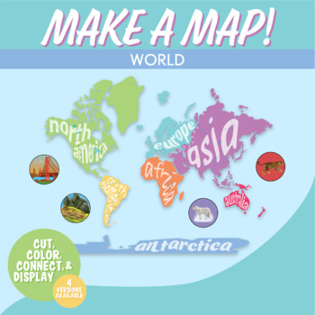
World Map Interactive Bulletin Board Geography Activity | Continents Wall Map
Students love learning the continents and oceans of the world with this hands-on map activity. This is a world geography activity in which kids cut out and decorate the continents, and then piece them together to form a world map on your bulletin board or wall!Clear directions are included with a unique numbered tab system to easily show how to connect continents. Create the map on a bulletin board or wall. This is fantastic for world geography lessons and history and world map projects.Included
Grades:
5th - 8th
Planet Earth: Watch & Write COMPLETE Bundle (ALL 11 Episodes)
Planet Earth: Watch & Write correlates to BBC’s Planet Earth series (a DVD collection that can be found in many school or local libraries or purchased for your personal classroom collection - see below for details).
This product includes the COMPLETE BUNDLED question sets for ALL 4 DISCS (all 11 episodes). There are 220 fill-in-the-blank and 33 critical thinking questions total in this complete bundle! In each of the packets of questions, students are challenged to note fascinating details
Subjects:
Grades:
5th - 10th
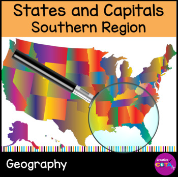
Southern States and Capitals Differentiated Geography Worksheets and Activities
Help your students learn and remember the United States and Capitals. Guide your students through an engaging exploration of the Southern states with this comprehensive resource set, designed to make learning both enjoyable and effective. The Southern States and Capitals Resource Set covers West South Central, East South Central, and the South Atlantic states, including Texas, Florida, Mississippi, Kentucky, Maryland, Delaware, Georgia, Louisiana, Alabama, Virginia, Arkansas, Oklahoma, South Ca
Subjects:
Grades:
4th - 5th
Types:
Also included in: United States and Capitals Worksheets and Activities Geography Bundle
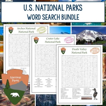
National Parks Word Search Bundle
Your students will love this National Parks Word Search Bundle featuring all 63 U.S. National Parks. These are no-prep activities that can be used as regular assignments, morning work, centers, early-finisher activities, and more. Looking for the terms in the puzzles helps reinforce them for memorization, increases familiarity with the main features of the parks, and encourages proper spelling. Both color and black and white versions of the puzzles, as well as answer keys, are included.Check out
Grades:
3rd - 8th
Types:
Geography Around the World (Plus Easel Activity)
Geography Around the World introduces students to continents, capitals, landforms and biomes, major lakes and rivers, mountain ranges, political boundaries, and more. Students can have fun completing a range of activities including matching, decoding puzzles, multiple choice, map work, and even an international traders’ challenge. 279 pages total. Answer keys are included.This geography curriculum is comprised of eight units, with each unit increasing in difficulty and grade level. Unit 1 is app
Grades:
1st - 8th
Showing 1-24 of 28 results


