50 results
3rd grade Martin Luther King Day geography resources for Easel Assessments
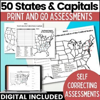
50 States and Capitals Map Activities Print & Digital Resource
Help your students learn and remember the 50 United States and Capitals. This product breaks the 50 states into five regions to make learning easier to manage and teach. United States maps are included with printable assessments, self correcting digital assessment and digital practice worksheets.Update! Easel Digital Version is Included (updated 7/2022)Self Correcting Assessments and Easy to Assign!Save $$$ when you buy as a bundle:The United States and Capitals Geography Review Activities and A
Grades:
3rd - 5th
Types:
Also included in: 50 States and Capitals Bundle Map Print & Digital Resource 50% OFF
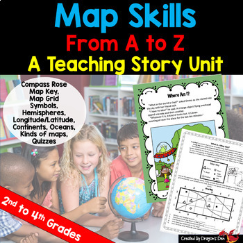
Map skills Unit Print and Digital
Energize your map unit with this high interest map and globes teaching unit for 2nd, 3rd or 4th grade students! You get everything you need for your Maps and Globes study with this fun resource, including a three page "hook" story about a lost alien.If you are a busy teacher (HA! of COURSE you are!) this unit is a real time saver!Everything you need is in one placeCovers most curriculum concepts for any state, or country's needsSpirals from beginning concepts to more complexActivities can be
Subjects:
Grades:
2nd - 4th
Types:
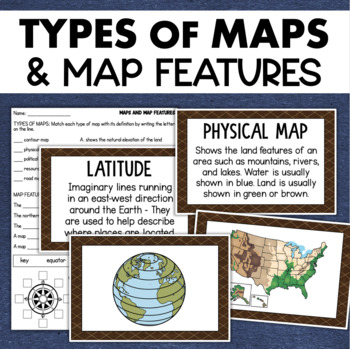
Types of Maps Map Features Skills Geography Posters Social Studies Assessment
Students will learn about different types of maps and common map features with this social studies resource. It includes 17 visuals/posters plus a worksheet/assessment.MAPS POSTERSThese can be kept together as a single page or cut apart into separate cards for display or a matching activity. The top of each card has the title and definition, and the bottom has a full-color illustration. WORKSHEETThis activity requires students to match the types of maps to their purpose, know the function of var
Subjects:
Grades:
3rd - 6th
Types:
Also included in: Geography Landforms & Bodies of Water Types of Maps Map Elements Posters
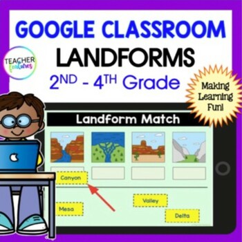
LANDFORMS & BODIES OF WATER 3rd 4th GRADE GEOGRAPHY Activity Quiz Google Slides
Keep students engaged as they explore 24 different landforms and bodies of water through interactive Google Slides. Each slide features a vivid photo, accompanied by easy-to-understand titles and descriptions. This resource not only enriches your social studies curriculum but also includes a multiple-choice quiz to assess student comprehension.Key Features:Visual Learning: Each landform and body of water is depicted with a high-quality image, making it easier for students to recognize and rememb
Grades:
2nd - 4th
Types:
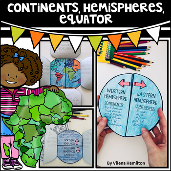
Continents. Hemispheres. Equator. Reading Passage & Foldable.
Reading Passage + Foldable to help your students memorize the continents and understand hemispheres in a simple and not so boring way. Here is what's included:- 2-Page Reading Passage about continents, hemispheres, & equator with 10 comprehension questions;- Foldable Templates;- Answer Keys for everything.You might also like:Maps. Map Skills. Compass Rose. Distance Scale. Map Key. Map Grid.Family Tree Project. Digital & Printable3 Branches of Government Mini Interactive Lapbook. Digital
Grades:
2nd - 3rd
Also included in: Geography Bundle
Continents and Oceans Geography Interactive PowerPoint and Mini Book with Easel
Continents and Oceans PowerPoint. Useful for studying the seven continents of the Earth and the five oceans in your geography or Social Studies classes. Includes examples of some major features of each continent of the world and some animals that are unique to each. Students will also see a visual about the equator and the hemispheres of the planet. Great supplemental activity for Earth Day, too. Has l interactive review slides and a printable for students to follow along. There are two Easel As
Subjects:
Grades:
1st - 4th
CCSS:
Also included in: Earth Day Activities Bundle
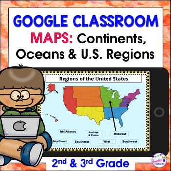
Map Skills US REGIONS CONTINENTS & OCEANS Google Slides & EASEL
Review map skills, 7 continents, identify world oceans & U.S. Regions: Northeast, Southeast, Midwest, Southwest & West using Google Slides. Interactive activities are great for all levels of learning. Use this with your smart board or for individual devices. Includes an Easel Activity! (33 Google Slides, 21 EASEL pages & 60 EASEL Questions)The Google Slide Access link contains 33 slides and 60 Question Easel Assessment:- Continent slides: with labels, without labels & drag the l
Grades:
2nd - 4th
Types:
Climate Reading Comprehension Passage PRINT and DIGITAL
This easy to read, one page passage about climate explains:the difference between climate and weatherEarth is divided into 5 main climate categories: tropical, dry, temperate, continental, and polarclimate is affected by latitude, elevation, landforms, ocean wind and currents, and closeness to waterclimate determines which plant and animal species can survive in a regionclimate can change over long periods of time (like during ice ages) and human activities can affect climate change The passage
Subjects:
Grades:
3rd - 6th
Types:
NGSS:
MS-LS2-5
, MS-LS2-4
, MS-ESS3-5
, 3-ESS2-2
, MS-ESS2-6
...
Also included in: Ashton's Custom Science Shorts Reading Comprehension Bundle
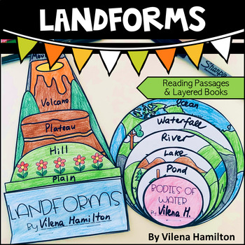
Landforms and Bodies of Water
Make learning about geography engaging and fun for your young learners!Your students will have an opportunity to read about the landforms and bodies of water first, answer some comprehension questions and then construct 2 layered books with the definitions for each landform/body of water. Here is what’s included:- 2 Reading Passages: Landforms and Bodies of Water- Comprehension Questions- Templates - Detailed Instructions- Answer Keys for everything You might also like:Continents. Hemispheres. E
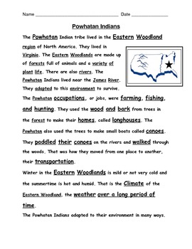
American Indian reading passages with questions
Reading passages for VA 2nd grade Social Studies SOL 2.2, 2.4 on American Indian Tribes: Powhatan, Lakota, and Pueblo all included here. 1 passage and 1 comprehension question page for each tribe. S.S. terms imbedded in text too. Up to date and aligned with VA SOL assessment language.
Grades:
2nd - 3rd
Types:
Martin Luther King Jr. Readers Theater Holiday Script, Reading & Activity Packet
This Martin Luther King Jr. Packet provides enjoyable reading and writing activities which coordinate with a readers theater script! This holiday script teaches key facts in the history of the civil rights movement and the life of Dr. King.This packet includes a 2-page readers theater script and 5 script-related activity sheets, each with its own answer key:* Fill-In the Blanks* Vocabulary Fun* Unscramble* Word Search* 5-Question QuizThis is a great way for students to increase reading and writi
Subjects:
Grades:
2nd - 4th
Types:
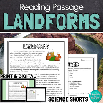
Landforms Reading Comprehension Passage PRINT and DIGITAL
This easy to read, one page passage all about landforms is perfect for science. The passage explains that landforms are features that shape Earth. It includes examples of landforms such as: mountains valleysriverslakescanyonsplateaushillsislandstrenchesIt also describes how landforms are created through: weathering and erosiontectonic plate movementasteroids forming craters This download includes a one page passage, 10 multiple choice reading comprehension questions, an answer key, and 2 self-sc
Subjects:
Grades:
3rd - 6th
Types:
NGSS:
4-ESS2-2
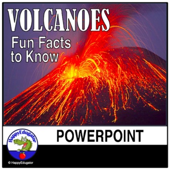
Volcanoes PowerPoint - All About Volcanos Writing Activity and Easel Assessment
Students will enjoy learning about volcanoes with this 30-slide animated PowerPoint. Informative text on volcano types and shapes, how and what is an eruption, how eruptions are measured, the difference between lava and magma, fun facts, famous volcanos, types of igneous rocks, and a vocabulary terms to know reference sheet. Includes photos of volcanos like Mt. Rainier and Mt. Kilauea, which help students understand the difference between a stratovolcano and a shield volcano. Includes a video l
Subjects:
Grades:
3rd - 6th
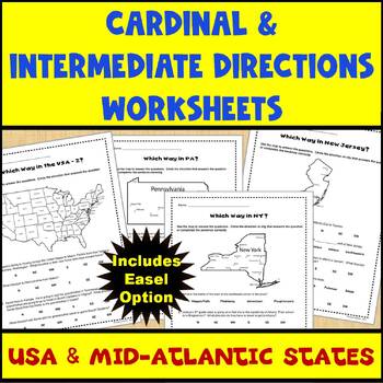
Map Skills Cardinal and Intermediate Directions Mid Atlantic States Worksheets
Do you need a way for your students to practice using maps to identify directions (both cardinal and intermediate)? If so, this set of 5 worksheets (and Easel assessment option) covering the United States and the Mid-Atlantic states of Pennsylvania, New York, and New Jersey can help. Each worksheet has 4-5 questions for students to answer using the map provided on the worksheet. There are 2 USA maps and one each for Pennsylvania, New York, and New Jersey. All of the questions are also provided
Subjects:
Grades:
2nd - 4th
Types:
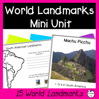
World Landmarks Lessons - 15 Famous Places Geography & Social Studies Unit
This social studies geography mini unit teaches students about 15 famous world landmarks. PDF slideshow lessons teach students the location and fun facts about each landmark. Printable student pages have students cut and paste the landmarks onto the correct location on maps and write what they learned about the landmarks. Class posters provide great visuals during your unit. A landmarks matching puzzle is great for review, a center, or for early finishers. Color and black and white versions are
Grades:
2nd - 5th
Types:
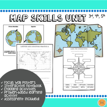
Mapping Skills Unit
Looking for an ENTIRE mapping unit! This product may be just what you need in your classroom! Recommended for grades, 3, 4, and 5 but may also be adapted for use in grade 2.This low-prep *zip file* unit has all you need to teach mapping skills to your students and includes:Day-by-day suggested objectives and activities for no-prep lesson planning!Color mapping skill posters for focus wall"Me on the Map" activity with two optionsInteractive notebook componentsDifferentiated mapping activitiesEnga
Grades:
2nd - 5th
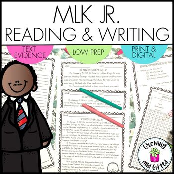
Dr. Martin Luther King Jr. Informative Writing and Reading Comprehension
Looking for a no-prep informative writing prompt and reading comprehension passage about Dr. Martin Luther King, Jr. (MLK Jr.) to use during your reading and writing instruction? This resource can be used for whole group instruction about Dr. King, small groups, Martin Luther King Day, assessment, early finishers, substitute teacher days, and ELA rotations or centers. Printable and digital versions are both included, plus it's ready to use in Easel!What's Included in the Printable Version:Teachi
Grades:
3rd - 5th
Types:
Also included in: Biography Unit Bundle with Informative Writing and Reading Comprehension
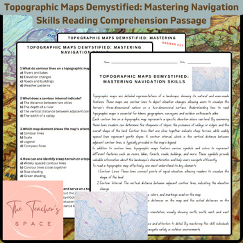
Topographic Maps Demystified: Mastering Navigation Skills Reading Comprehension
Topographic Maps Demystified: Mastering Navigation Skills Reading Comprehension PassageUnlock the secrets of topographic maps with our comprehensive resource, "Topographic Maps Demystified: Mastering Navigation Skills." This engaging package equips students with the knowledge and confidence needed to interpret and navigate through diverse terrains.Key Features:Informative Reading Passage: Dive into a rich reading passage that meticulously breaks down the fundamentals of reading topographic maps.
Subjects:
Grades:
3rd - 9th
Types:
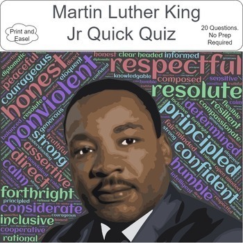
Martin Luther King Jr. Day Activities Easel & PDF-20 Questions(No Prep) MLK Day
Covers 20 Questions. No Prep Required. Print and enjoy or Assign as an Easel. Answer Key IncludedDiscovering Martin Luther King Jr.: A Fun and Educational Quiz for Kids!Embark on a journey of learning and inspiration with our engaging quiz designed especially for children in celebration of Martin Luther King Jr. Day! This online and print-friendly quiz is crafted to introduce young minds to the remarkable life and legacy of the influential civil rights leader, Dr. Martin Luther King Jr. Features
Grades:
2nd - 12th
Types:
Also included in: Black History Month 50+Activities, Games, Puzzles and More - Mega Bundle
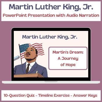
Martin Luther King, Jr. Story - PPT Presentation - Quiz - Timeline Exercise
Martin Luther King, Jr. Story - PPT Presentation - Quiz - Timeline ExerciseEmbark on an immersive and educational journey through the remarkable life of Martin Luther King Jr. with this dynamic PowerPoint presentation, 'Martin's Dream: A Journey of Hope.' Designed to captivate young minds, it comprehensively explores Martin Luther King Jr.'s life, ideals, and enduring legacy.Key Features:Engaging Visuals: Illustrated with vibrant and captivating visuals, the presentation brings Martin's story to
Grades:
3rd - 5th
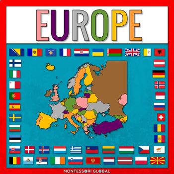
European Countries
European Countries with Capitals is a Montessori-inspired product to help learn about the countries of Europe and their capitals, as well as flags for European countries. INCLUDED:53 sets of Montessori 3 Part Cards and control cards, including the countries of Europe and their capitals as well as flags for European countries1 x Unlabelled Map of Europe in the colors of the Montessori Puzzle Maps1 x Labelled Map of Europe in the colors of the Montessori Puzzle Maps1 x World Map in the colors of
Subjects:
Grades:
2nd - 3rd
Types:
Also included in: Montessori Countries and Flags of the World
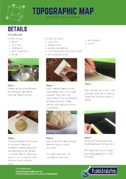
Topographic Map Making from a 3D model
4 student activity sheets in total in A4 formatBackground information on the science experiment in regard to creating a topographic mapA list of the experiment materials needed (uses simple materials found in local shops, at home or in the classroom)The method on how to conduct the experimentReflection sheet with questions that determine student understandingIncludes both an Easel Activity version of this worksheet and an Easel Assessment.Student Activity sheets for your geology & natural di
Subjects:
Grades:
3rd - 6th
Types:
NGSS:
4-ESS2-2
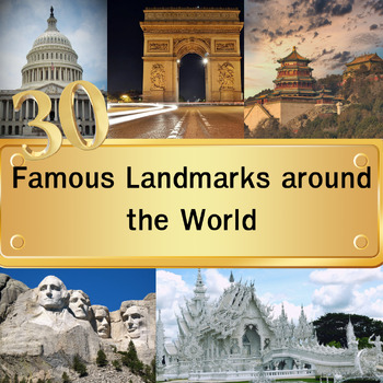
30 Famous Landmarks around the World Quiz with For grade 3-8 and homeschool
In this quiz featuring 30 famous landmarks from around the world, students will examine images of these landmarks and select their answers from a set of four multiple-choice options. Once they've made their choice and clicked "next," the correct answers will be revealed. This quiz serves as an educational tool to expand their understanding of global landmarks. It can be used effectively as either a warm-up activity at the start of the class or as a lesson review.Please note that this digital pro
Grades:
3rd - 8th
Types:
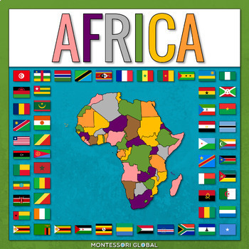
Countries of the African Continent
Countries of the African Continent is a Montessori-inspired product to help learn about the countries of Africa and their capitals, as well as flags for African countries. INCLUDED:53 sets of Montessori 3 Part Cards and control cards, including the countries of Africa and their capitals as well as flags for African countries1 x Unlabelled Map of Africa in the colors of the Montessori Puzzle Maps1 x Labelled Map of Africa in the colors of the Montessori Puzzle Maps1 x World Map in the colors of
Subjects:
Grades:
2nd - 3rd
Types:
Also included in: Montessori Countries and Flags of the World
Showing 1-24 of 50 results


