4 results
Geography Common Core RI.5.10 posters

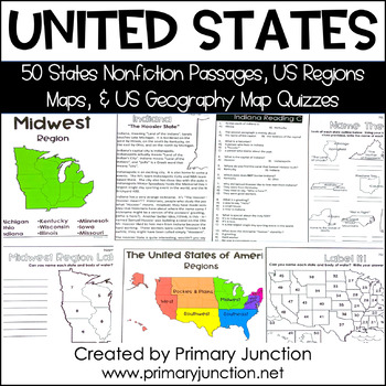
United States 50 States Reading Comprehension Passages Region Geography Map
Are you teaching a unit on United States geography or the 50 states and capitals, or would you like to incorporate some non-fiction informational texts into your instruction? These United States 50 States Reading Comprehension Passages and Region and Geography Maps will help you engage and teach your students interesting and important facts about each of the 50 states and their capitals, as well as assess students’ knowledge of each state’s location on a map. Each of the 50 state reading passag
Subjects:
Grades:
2nd - 5th
Types:

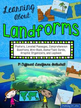
Landforms Lapbook and Close Reading Passages
This packet contains several resources for teaching your students about 14 different landforms: oceans, lakes, islands, mountains, hills, plateaus, isthmuses, peninsulas, bays, volcanoes, rivers, canyons, valleys, and glaciers
*Color posters with a clear illustration and definition for each landform. These can be printed or projected.
*Lapbook or interactive notebook foldables
*Close reading passages for each landform, Lexile-leveled, appropriate for grades 3-5.
*Accompanying comprehension q
Subjects:
Grades:
2nd - 5th

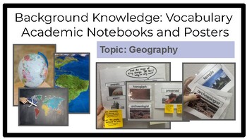
Geography: Background Knowledge and Vocabulary Posters
**Designed with Scarborough's Rope in mind: specifically background knowledge and vocabulary strands.**Organized by informational topic: Geography**Takes the guesswork out of creating word lists: 20 vocabulary words per informational topic. This unit includes two poster options for the word 'longitude'.**Pairs well with CoreKnowledge curriculum.**Can be used to enhance whole group, small group, independent reading, and/or social studies instruction. Print and use the way that's best for you!**Th
Subjects:
Grades:
3rd - 6th
Types:
Also included in: BUNDLE: Background Knowledge and Vocabulary Posters

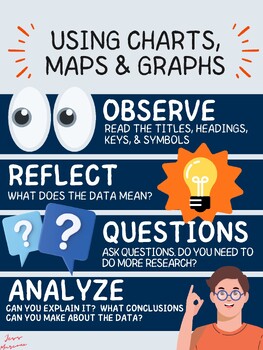
Anchor Chart: Using Charts, Maps, and Graphs
This poster gives students support in using Maps, Charts, and Graphs.Are you taking advantage of FREE TpT money? "You get one TpT Credit for every $ you spend on TpT. You only get the Credits after you Provide Feedback — both a fair rating and a fair comment — on the items you purchase. We will round up for you, too! If you provide fair feedback on a $4.75 item, you will earn 5 credits. Every 100 Credits is worth $5 that you can apply towards future TpT purchases, but there is no need to wait un
Subjects:
Grades:
5th - 12th
Types:
Showing 1-4 of 4 results


