Spanish Speaking Countries Latitude Longitude Task Cards Map Skills Activity
- PDF
What educators are saying
Description
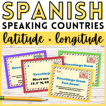
Teach the Spanish speaking countries and capitals while practicing map skills with these latitude and longitude task cards! Perfect for Hispanic Heritage Month, or throughout the school year, these task cards are engaging and fun. Your students will have a blast learning about Spanish speaking countries and traveling the world from their desks!
This resource includes 24 task cards with a fun travel postcard theme. Task cards can also be used to play a scoot game. This activity is designed to help your students develop map skills and a stronger understanding of the geography of Spanish speaking countries.
This task card set includes:
- 12 task cards that feature a Spanish speaking country capital, along with a fun trivia fact, and ask students to identify their coordinates
- 12 task cards that include the coordinates of a Spanish speaking country capital and ask students to identify them
- Black and white versions of all task cards
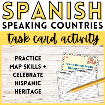
- Recording sheets for each set of task cards
- Answer keys
Task cards can be printed on cardstock or laminated to improve durability for repeat use!
Students can use a class atlas to complete this activity. Google Earth can also be used if a digital atlas is preferred. Here are instructions on how to find and use location coordinates using Google Earth.
You might also be interested in these Spanish speaking country map worksheets, and the Spanish speaking countries bundle!
Follow Learning Pyramid to learn of new products, free items, and sales!


