Map Skills Geography ClipArt
What educators are saying
Description
Map Skills Geography ClipArt Package:
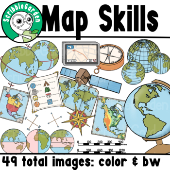
49 items are included in this package: 24 color images & 25 black and white images. Images are provided in png format to preserve transparency. Images are at 300 dpi; these images are high quality and can be scaled to the desired size.
axis of earth
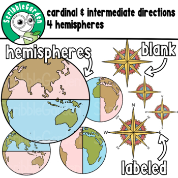
cardinal directions
intermediate directions
compass
4 compass roses
equator and prime meridian
globe
gps road map
latitude and longitude
latitude
longitude
legend example
map of world
northern hemisphere
southern hemisphere
eastern hemisphere
western hemisphere
tropics
physical map North America
political map North America
satellite
map scale
This package is an Instant Download.
These items are intended for personal or educational use. No mass production is allowed. Please read the ‘terms of use’ included with the product if you intend on selling products created from this clipart.
Thank you for shopping with ScribbleGarden!


