TPT
Total:
$0.00

Lewis and Clark MAP Activity: highly visual & engaging follow-along 25-slide PPT

Rated 4.81 out of 5, based on 84 reviews
4.8 (84 ratings)
;
Grade Levels
3rd - 8th, Homeschool
Standards
Formats Included
  • Zip
  • Google Apps™
Pages
25 pages
$6.00
List Price:
$7.00
You Save:
$1.00
$6.00
List Price:
$7.00
You Save:
$1.00
Share this resource
Report this resource to TPT
Includes Google Apps™
The Teacher-Author indicated this resource includes assets from Google Workspace (e.g. docs, slides, etc.).

What educators are saying

I used this un combination with my curriculum to review before the state testing. Students found it engaging and interesting.
Great activity for my students! It took me about 2-3 days depending on the class (our periods are only 40 minutes so that included setup and clean up time) and the kids loved coloring in the page.
Also included in
  1. This download includes all four of the following items at a bundle discount. Each can be downloaded separately as well...1 - Lewis and Clark Informational PowerPoint giving an overview of the Core of Discovery on the expedition (36 slides)2 - Lewis and Clark Comic Strip Activity: fun, highly visual
    Price $19.77Original Price $34.77Save $15.00

Description

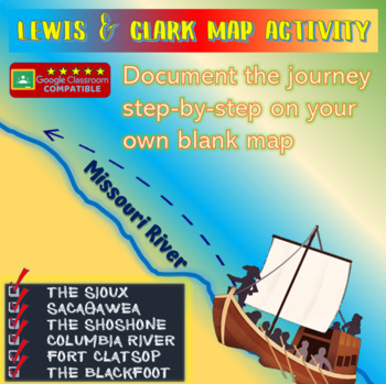
THIS NO-PREP, FOLLOW-ALONG RESOURCE IS THE PERFECT TIME-SAVER FOR TEACHERS LOOKING TO HELP STUDENTS VISUALIZE THE EVENTS OF THE LEWIS AND CLARK EXPEDITION. BY THE END, STUDENTS WILL HAVE TURNED A BLANK MAP INTO AN INFORMATION-PACKED RESOURCE. ENJOY!

***GOOGLE COMPATIBLE***

1) Drag and Drop the Word Doc or PowerPoint into Google Drive

2) Then Go to "FILE", and SAVE AS "GOOGLE SLIDES" or "GOOGLE DOCS"

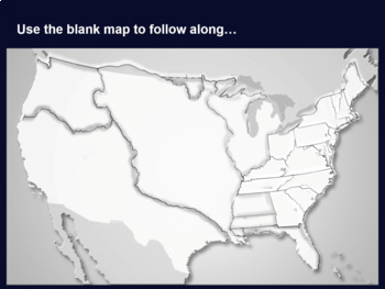
This download includes both the 25-slide PowerPoint AND the blank Lewis and Clark map in PDF, JPEG, and MS WORD format.

This series of PowerPoint slides guides students, step-by-step, in putting features on their blank Lewis and Clark maps, including geographic features (e.g. Rocky Mountains, Missouri River, Columbia River), incidents with Native Americans (e.g. the Teton Sioux, the Shoshone, the Blackfoot) and political features (e.g. the 17 states, St. Louis). Each slide also has informational text and images as you go.

***Designed for classrooms, ideal for distance learning as well #distancelearningTpT

Enjoy!

Total Pages
25 pages
Answer Key
N/A
Teaching Duration
1 hour
Report this resource to TPT
Reported resources will be reviewed by our team. Report this resource to let us know if this resource violates TPT’s content guidelines.

Standards

to see state-specific standards (only available in the US).
Interpret information presented visually, orally, or quantitatively (e.g., in charts, graphs, diagrams, time lines, animations, or interactive elements on Web pages) and explain how the information contributes to an understanding of the text in which it appears.
By the end of year, read and comprehend informational texts, including history/social studies, science, and technical texts, in the grades 4–5 text complexity band proficiently, with scaffolding as needed at the high end of the range.
Draw on information from multiple print or digital sources, demonstrating the ability to locate an answer to a question quickly or to solve a problem efficiently.
By the end of the year, read and comprehend informational texts, including history/social studies, science, and technical texts, at the high end of the grades 4–5 text complexity band independently and proficiently.
Integrate information presented in different media or formats (e.g., visually, quantitatively) as well as in words to develop a coherent understanding of a topic or issue.

Reviews

Questions & Answers